

EN
✨ Hi, ask me a question!
Assistant
EN
Assistant
268 km
Distance
570 dk
Duration
4
Stops
While Gaziantep may first bring to mind baklava and historic bazaars, discovering the natural wonders in the northern part of the city offers a completely different experience. This route invites you to a two-day adventure filled with rugged terrains, deep canyons, and peaceful plateaus.
Day 1 — Canyons: We set off in the early morning darkness and first reach Habeş Kanyonu. This deep valley, carved by the branches of the Euphrates over millions of years, attracts nature enthusiasts with its hiking trails. You can enjoy birdwatching while walking alongside the stream flowing at the bottom of the canyon. In the afternoon, we move on to Köklüce Kanyonu: this canyon, less known than Habeş but just as impressive, is a paradise for photographers. Be ready for a feast with keme kebabı and sarımsak kebabı at a local farmhouse for dinner.
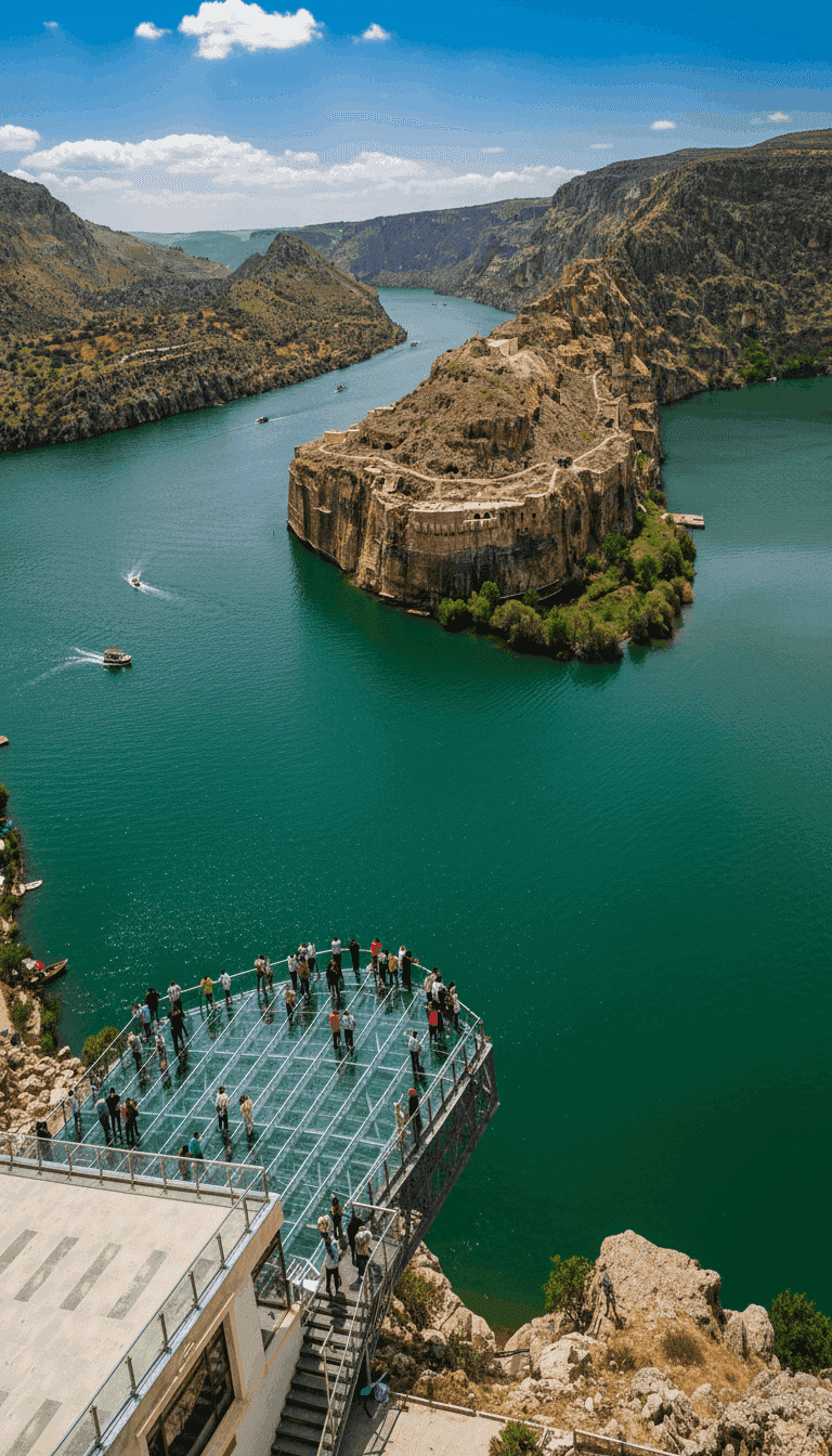
Day 2 — Plateau and Rumkale: The second day starts at Huzurlu Yaylası. A silence and fresh air befitting its name; your morning walk among the pine forests will refresh your soul. Then, descending south, we arrive at our final stop, Rumkale. This ancient castle, built on steep cliffs by the banks of the Euphrates River, has a layered history stretching from the Romans to the Crusaders. The turquoise waters of the dam lake across from you and the dramatic silhouette of the castle walls behind… Watching this view with a glass of menengiç kahvesi is priceless.
1. Day
2. Day
1. Day
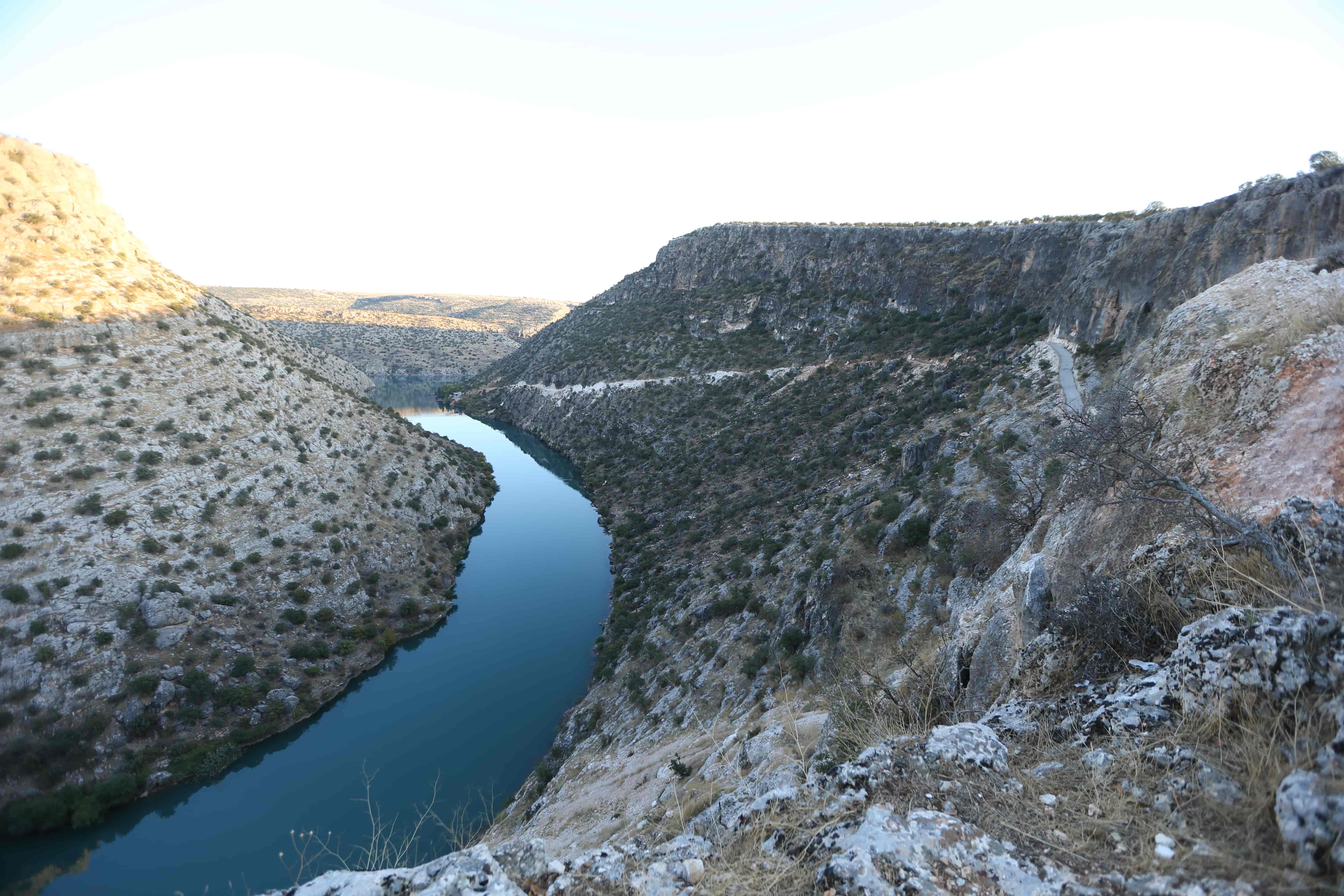
The canyon, located 21 km from the Araban district, begins at the Septimus Severus Bridge, which dates back to the Roman Period. If you walk south of Habeş Canyon, you can see the Roman road leading to the bridge; after a short distance, you arrive at the point where the canyon has its most beautiful U-shaped view. In the northeastern part of the same area, a rock with a Hittite relief can be seen.
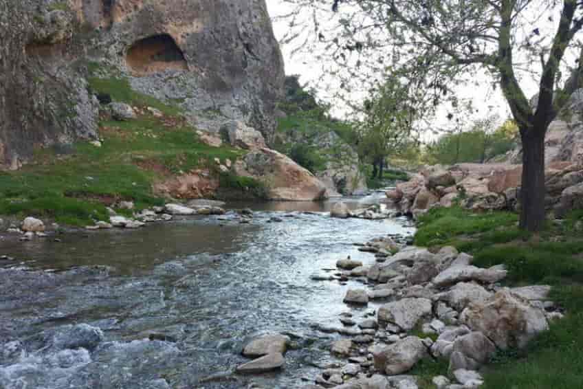
It is 9,5 km away from Araban district. The depth reaches 100-120 metres in some parts of the canyon. Rock climbing is possible due to the solid limestone structure of the canyon. Caves in the valley were inhabited in ancient times.
2. Day
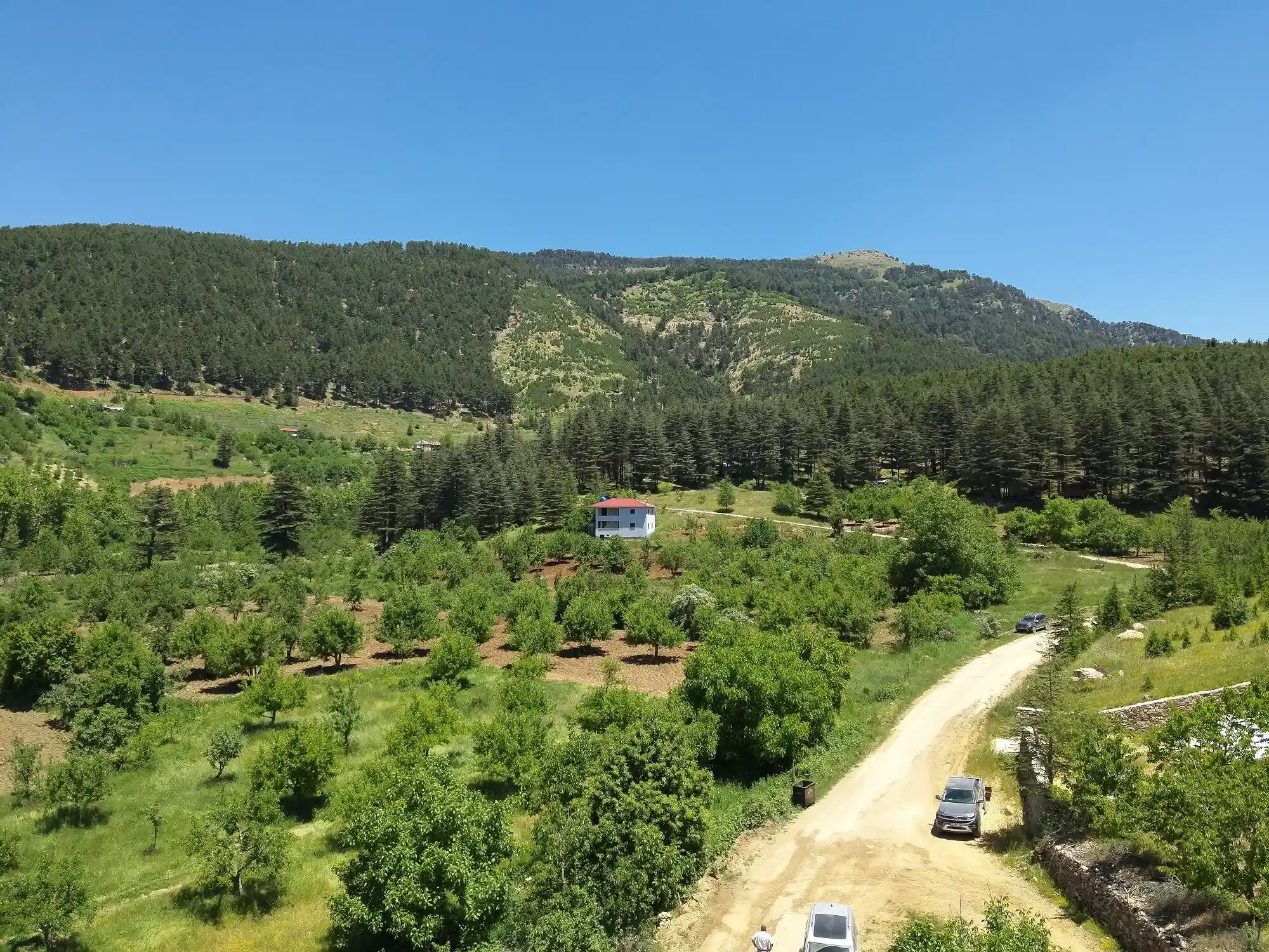
Hızır Plateau, located on the Gaziantep – Adana highway, is approximately 130 km away from the city center. You can reach it by taking district minibuses to Altınözü and then a taxi from there. However, the long and transfer-required journey makes it quite difficult to reach. The ideal mode of transportation would be to go with your private vehicle. Hızır Plateau, where you can see all shades of green, offers visitors both a visual feast and plenty of oxygen at the top of the Amanos Mountains. Since there are no facilities in the camping area, you should meet all your needs from the settlements along the way. Camping Facilities: There are no facilities such as WC, electricity, and shower. You can meet your food and beverage needs from the settlements along the way before reaching the camping area or request from the locals living in the plateau houses. Huzur Plateau, where every shade of green can be seen and meets the blue of the sky, is located within the borders of İslahiye District, 125 km away from the center of Gaziantep. Huzur Plateau is the richest area in terms of plant and animal diversity in the Amanos Mountains.
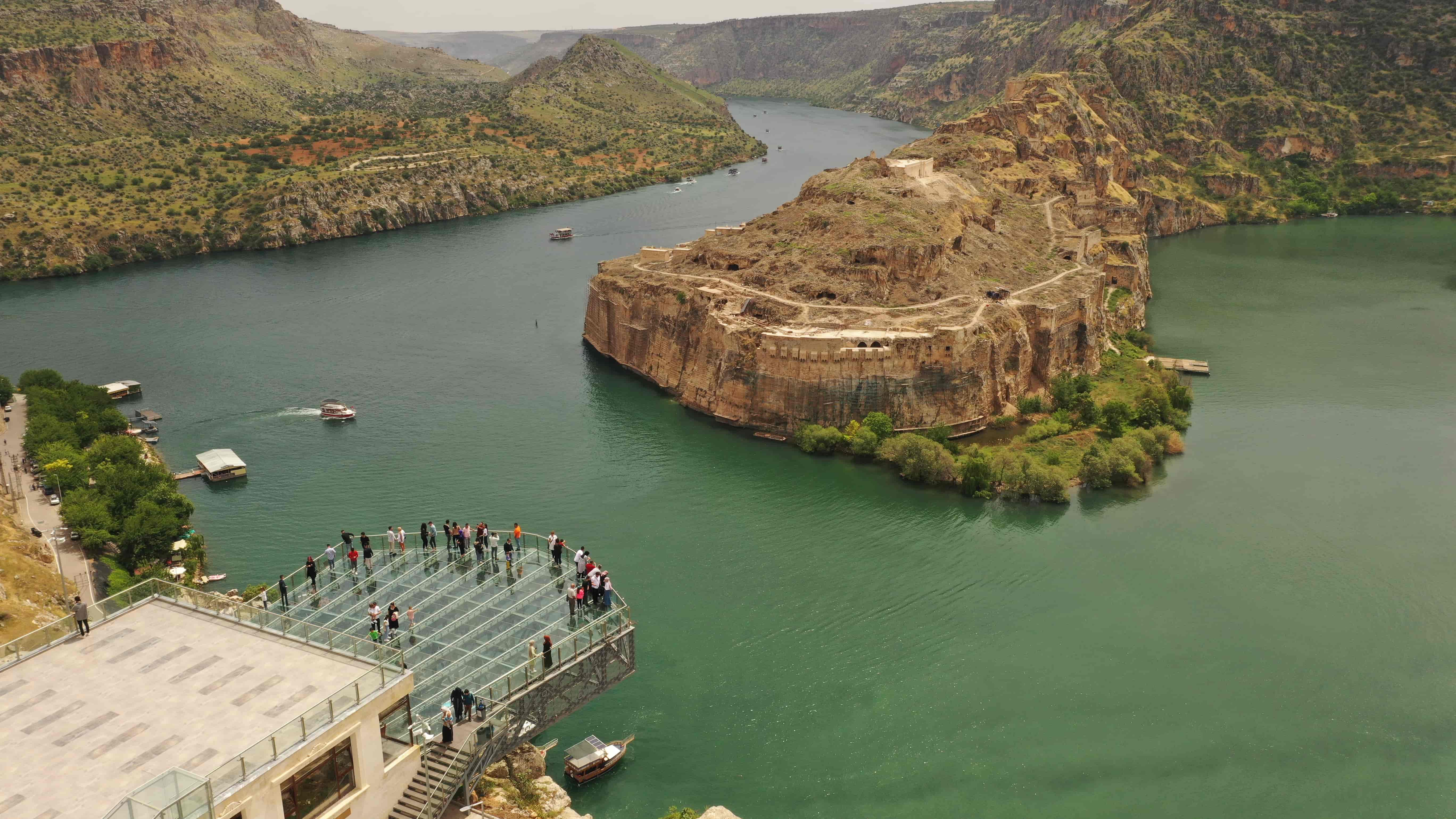
Located within the borders of Yavuzeli District of Gaziantep Province, Rumkale is on steep rocks at the confluence of Merzimen Stream with the Euphrates River.